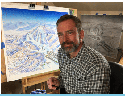
At the beginning of every season, it seems like I find a crumpled-up ‘ole ski map, in my jacket pocket, from the year before. Usually, a little wave of nostalgia surfaces as I take a second to remember that epic day. Most of the time, these stashed maps were the key to unlock a new destination that I’d never ventured to.
When ski areas expand, install new lifts, or just need a refresh, the resorts update their trail map by reaching out to a cartographer. While some of this can be done “in-house”, the majority of the ski areas go with a seasoned veteran. Two such veterans are James Niehues and Rad Smith. Both cartographers are considered industry leaders in hand-painted ski maps, and both have done some resort mapping right here, in the southeast.
Why go with hand painting?
With all the technology advancements in place, you have to scratch your head and wonder why there is a preference to look at a hand painted map. I mean, we’ve certainly evolved from the old treasure maps where “X” marks the spot. The problem with high resolution imagery is the difficult nature of getting the perspective just right. Remember, you’ve got to take sometimes thousands of acres and distill it down to the skiers point of view. These artists have a way of making a two-dimensional map, appear three-dimensional, and they can do it better than a computer-generated image. In addition, they filter out all the “noise” from the background and with better contrast.
James Niehues “The Michelangelo of Snow”
Niehues has produced five ski maps for southeast ski areas (Cataloochee, Massanutten, Snowshoe, Winterplace, and *Wisp – currently not in use) . . . each a work of art. In fact, Niehues has painted a staggering 430 maps on five continents in 30 years. His process is intricate; he starts with some aerial photography and GIS mapping. From there he creates a sketch of the mountainside. After that, he uses a projector to display the sketch onto his easel. Finally, he begins painting the map in color.
A couple of years ago Niehues decided to begin a Kickstarter campaign to fund the publication of his finest work . . . a compilation of over 200 maps in one “coffee table” book. What a gift for the ski aficionado!
Niehues’s Local Works of Art:
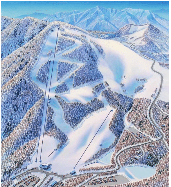
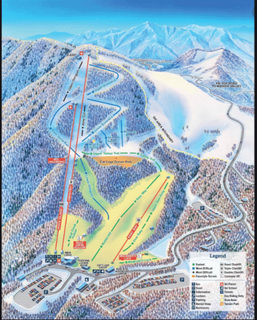
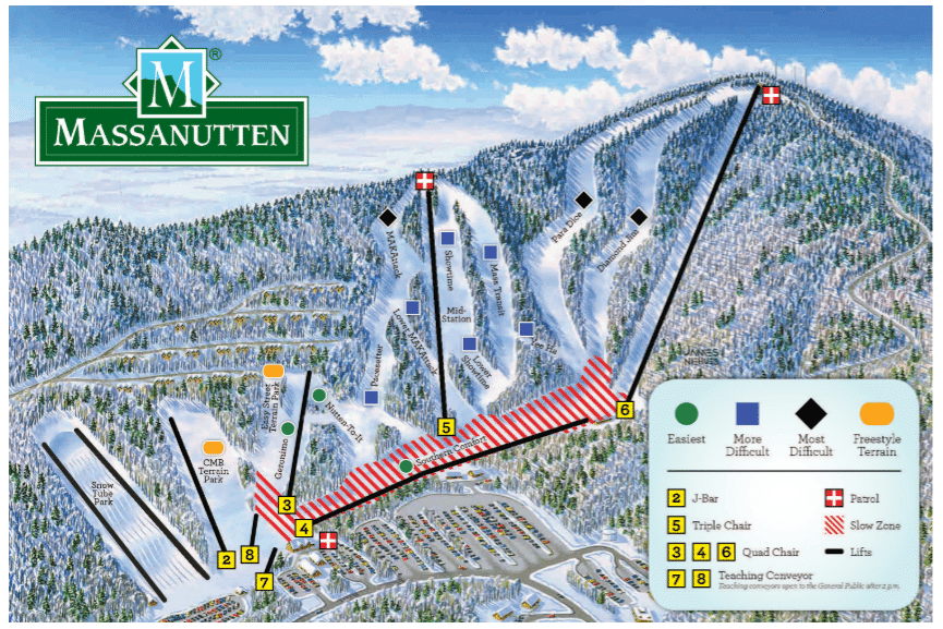
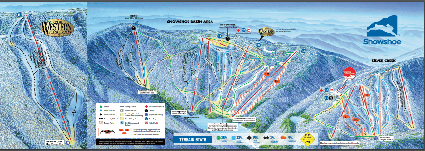

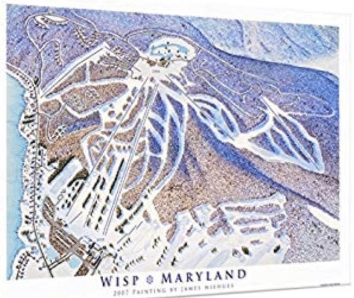
“The World isn’t Flat or Boring, Your Maps Shouldn’t be Either” – Rad Smith
A guy who’s first name is Rad is certainly a winner in my book. In all seriousness though, according to his bio, “Rad Smith is an illustrator, cartographer and graphic designer providing mapping solutions to the outdoor industry, as well in support of the interpretation of environmental resources.” His works of art range from ski maps in Australia to mountain bike park maps in the American West.
Locally, Smith worked on Beech Mountain and produced a new trail map for this, “fabulous southern appalachian ski area”, as he calls it.
The Evolution of Beech Mountain:
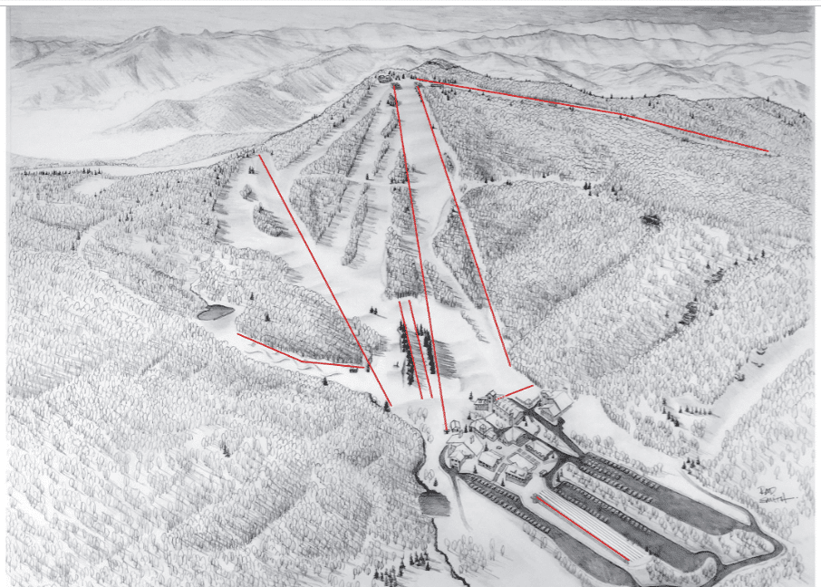
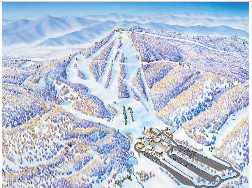
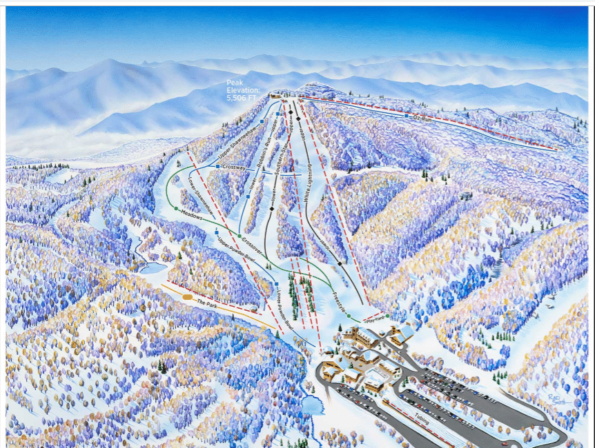

The Smith-Niehues connection runs deep . . . “With guidance from James Niehues and by referencing a variety of panoramic painters for inspiration, Rad continues to expand his mapping services to his growing list of clients.” We certainly look forward to seeing upcoming work from both map makers! As the lift-served mountain bike market continues to grow, these guys could be mighty busy in the future.
You can see more work from James Niehues and Rad Smith

