Last night was indeed the transition from mild to cold temps that we were hoping for. I was outside playing with my dog around 6pm and you could feel the cold air coming in. Snowmaking equipment did fire back up at many ski areas – however, the temperatures didn’t quite drop down enough at many of the Virginia ski areas…or Sapphire Valley in North Carolina. Looks like it was also borderline or some other issue at Winterplace Resort as they too went without snowmaking last night.
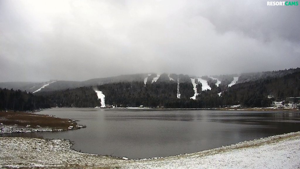
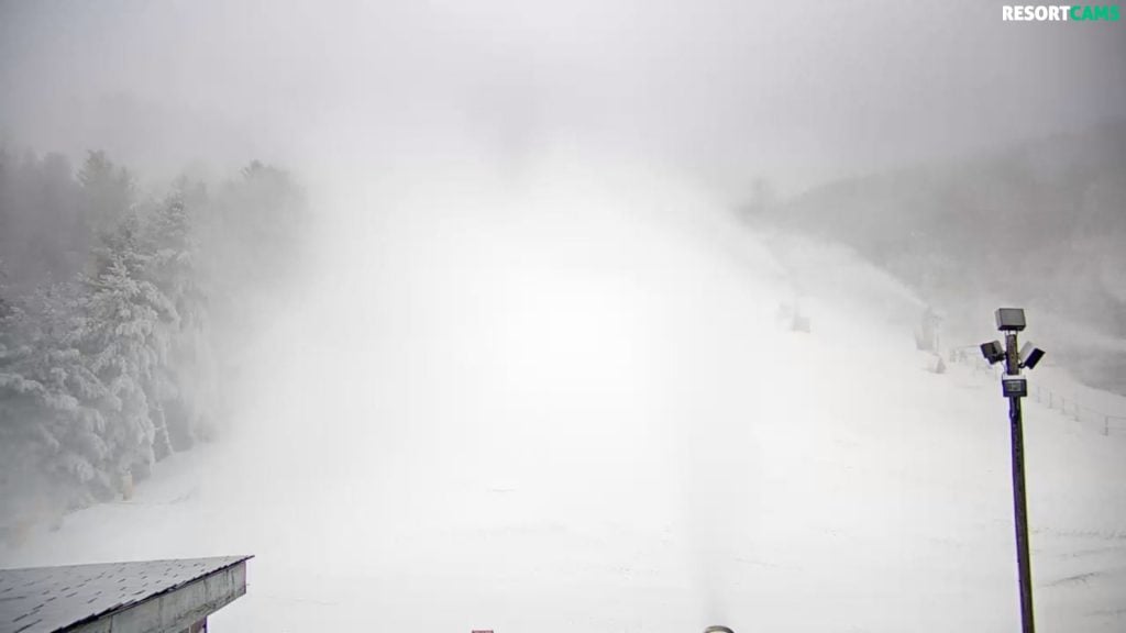
As the title of our story today indicates, SOME ski areas saw natural snow overnight. The photo of the day up top and here below is of Snowshoe’s Basic Cam. You can CLICK TO ENLARGE the photo and also see some snowmaking happening on Lower Ballhooter.

Resorts with Snowfall Last Night
Snowshoe’s 2″ of new snow takes them to 20″ already on the season. They are reporting 14″ on the season-to-date. Just to be clear, there isn’t any discrepancy – they just report snowfall AFTER they get open for skiing and snowboarding and we report it from the first snow of the Fall since Snowshoe Mountain is actually open year round. Good on them though!
Canaan Valley Resort and Timberline Resort also saw 1.9″ of new snow and now 18.3″ on the season. They are both making snow and prepping to open.
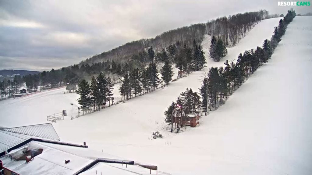
Wisp Resort – they are making snow this morning and they too saw 1.5″ of new snow and are now at 17.4″ on the preseason.
It is VERY early for all of our ski mountains…actually still pre-season for most…but there has definitely been an unusual difference in conditions from one mountain to the next in terms of cold temps and natural snowfall to date. I may pull some data just to show how many nights of snowmaking temps that have been available for Beech or Cataloochee, compared to some of the resorts in WV.
Check the SNOW REPORT for all of the deets on slopes, temps and snowfall to date for all of the ski mountains.
Let’s Chat About the Member Ski Resorts that Are Open today
…and then spread some snowmaking cheer about the rest!
21° Snowshoe Mountain – They are reporting 2″ of fresh snow! They are playing on 20 trails for today! They made snow and some is still ongoing on selected trails this morning. Fresh snow alert!
Shawn Cassell shared:
If all goes well, we hope to open Cupp Run sometime this weekend. There’s more snow in the forecast this week, and terrain expansion is in full swing. Needless to say, the stoke is high here at the Shoe.
21° Beech Mountain – making snow at the base of the mountain and they WERE when I looked at 6:30am. They have 5 trails open for day sessions today and ice skating is open as well.
24° at Cataloochee – making a manmade blizzard

Here’s a short video from conditions on Sunday at Cataloochee. Lots of great coverage and snowmaking is happening now. Cat could also see some light snow tonight.
27° – Wisp Resort looks GREAT this morning. Making snow and it also looks like they picked up 1″ of natural snow as well.

The Virginia Mountains are Still Waiting on Colder Temps
All of the Virginia ski resorts have made snow with the lone exception of The Homestead Resort and we expect them to get in on the act over the coming days. Bryce Resort was open this past weekend and there is plenty of coverage to expect them to be open again this weekend. There’s also some snowmaking temps coming in and we should see more going on in the Commonwealth shortly.
Here is what things looked like at 8am:
36° Massanutten Resort – not able to make snow yet. That should happen tonight.
37° Sapphire Valley – not making snow this morning
30° Omni Homestead – not making snow this morning but we expect them to crank up tonight
27° Winterplace not making snow. Not sure if the wet bulb is a factor or if they are just waiting until tonight.
SNOW WINTRY WHATEVER COMING
The approaching storm is slowing but now looks like a Saturday night into Monday storm. I’m thinking that we’ll get an official Skier’s Forecast video by Thursday as the storm gets closer, however Brad did share this video below with his Charlotte audience.
Needless to say, there is a lot of potential for something significant.
Some mountaintops could see some flurries or perhaps 1-2″ of snow this evening and then there’s the weekend ahead. I’ll admit that I got caught up in the social media hype about the approaching storm. There ARE sources (and yes I shared some of the hype) that are talking about snow measured in feet coming soon to a mountain near you.
Right now, all bets seem to be off because the timing of the cold coming from the north and the moisture coming from the west have to be spot on. If the moisture makes it first, we could see a wintry ice storm with SOME snow. If the cold gets into the area first (and indications do seem to suggest that) and if the track of moisture goes a bit more south, then we could see a nice snowstorm.
That said, the setup is ideal for a very good winter storm this weekend. Low pressure travels from the northern Gulf Coast Saturday into Sunday reaching near the NC coast Monday morning. At the same time a surface high – wedges down the eastern slopes of the Appalachian mountains creating just enough cold air for snow.
So we’re still thinking several inches of snow, perhaps mixed with some sleet and wintry mix, creating a wet, snow. The timing is looking more like a Saturday evening/night into Monday event.
So hit up the stores for water, milk and bread!
That will do it for today.
We’d REALLY LOVE IT…if you would:
Subscribe to Our YouTube Channel < For great Video Notifications
Like Us on Facebook! < The Best Ski Resort News Around! If you LIKE us you will automatically be eligible to win free lift tickets and other giveaways that we do all season long!
If you want to drop me an email or comment, feel free. Your thoughts, trip reports, input, suggestions or general commentaries are welcome.
Email me your thoughts, comments or any news to [email protected]
[final-thoughts]